Courses (2023- 2024)
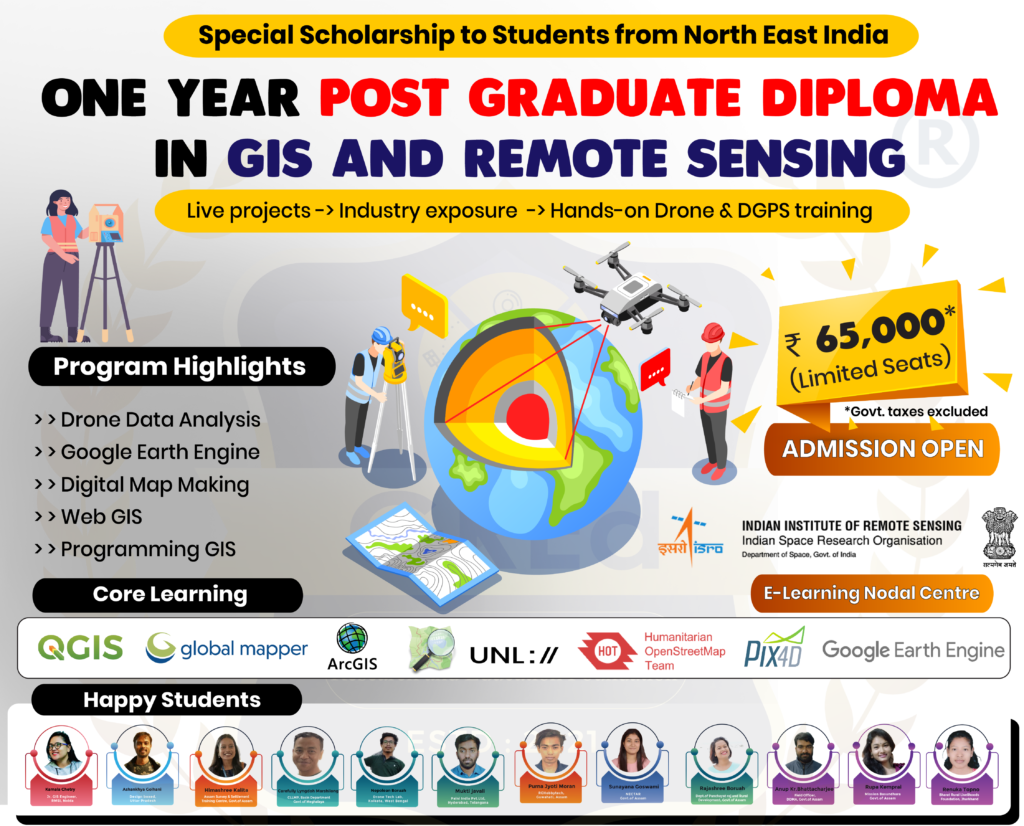
Post Graduate Diploma in GIS and RS
Post Graduate Diploma Course 🏆🎓in GIS and Remote Sensing, where we also train you to fly drones, use DGPS & many more amazing things.
🤩 Let us assure you that any graduate can take up our One year PG Diploma Course with 100% job assistance from our end.
🏛️Mode : Offline (only)
🏫 Training Centre: Guwahati, Assam
🌟Admission are going on For the 2023- 2024 session (Book your slots)
💳 Fees : ₹ 65,000/- + GST
🤩Fees Payable at installment (EMI facility Also available).
Course Code : DGRS

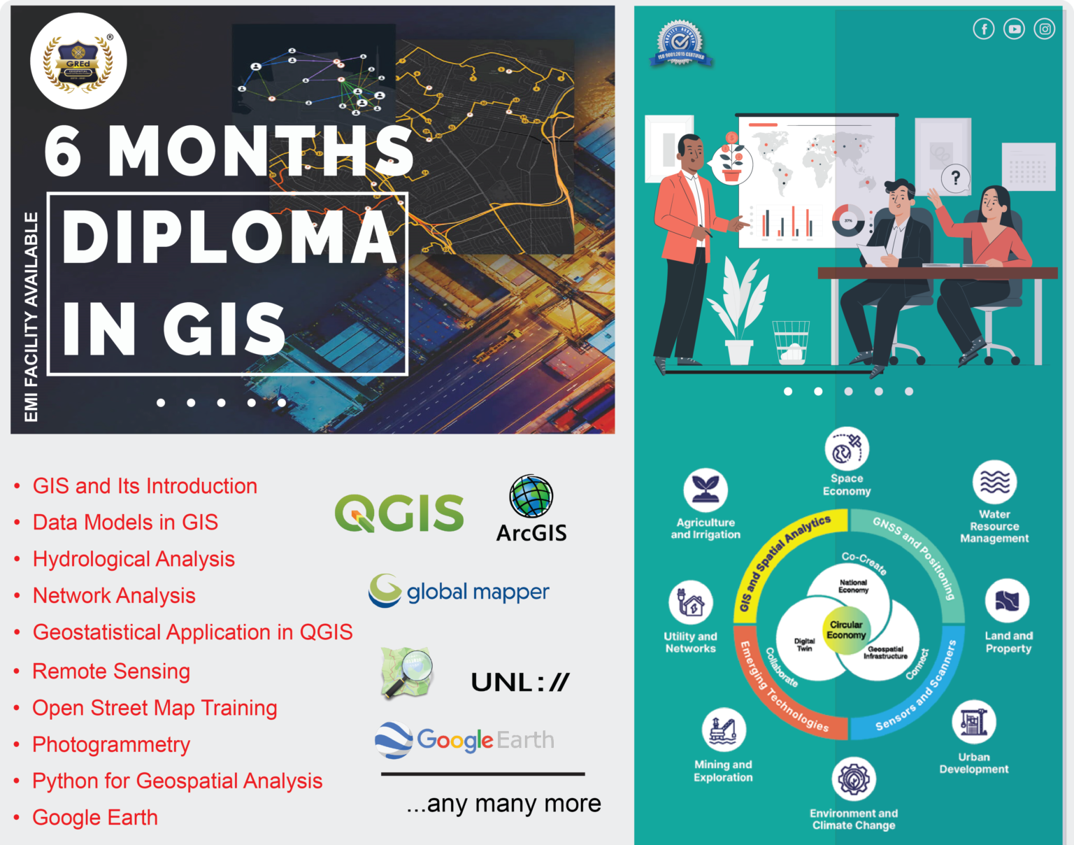
Six Months Diploma in GIS and RS
Diploma Course 🏆🎓in GIS and Remote Sensing where you will learn how to collect, analyze, and visualize geospatial data using the latest software and technologies.
🤩 Let us assure you that anyone can take up our Six Months Diploma Course
🏛️Mode : Both Online and Offline
🌟Admission are going on For the 2023- 2024 session (Book your slots)
💳 Fees : ₹ 35,000/- + GST
🤩Fees Payable at installment (EMI facility Also available).
Course Code : OMGAH

One Month Certificate Course
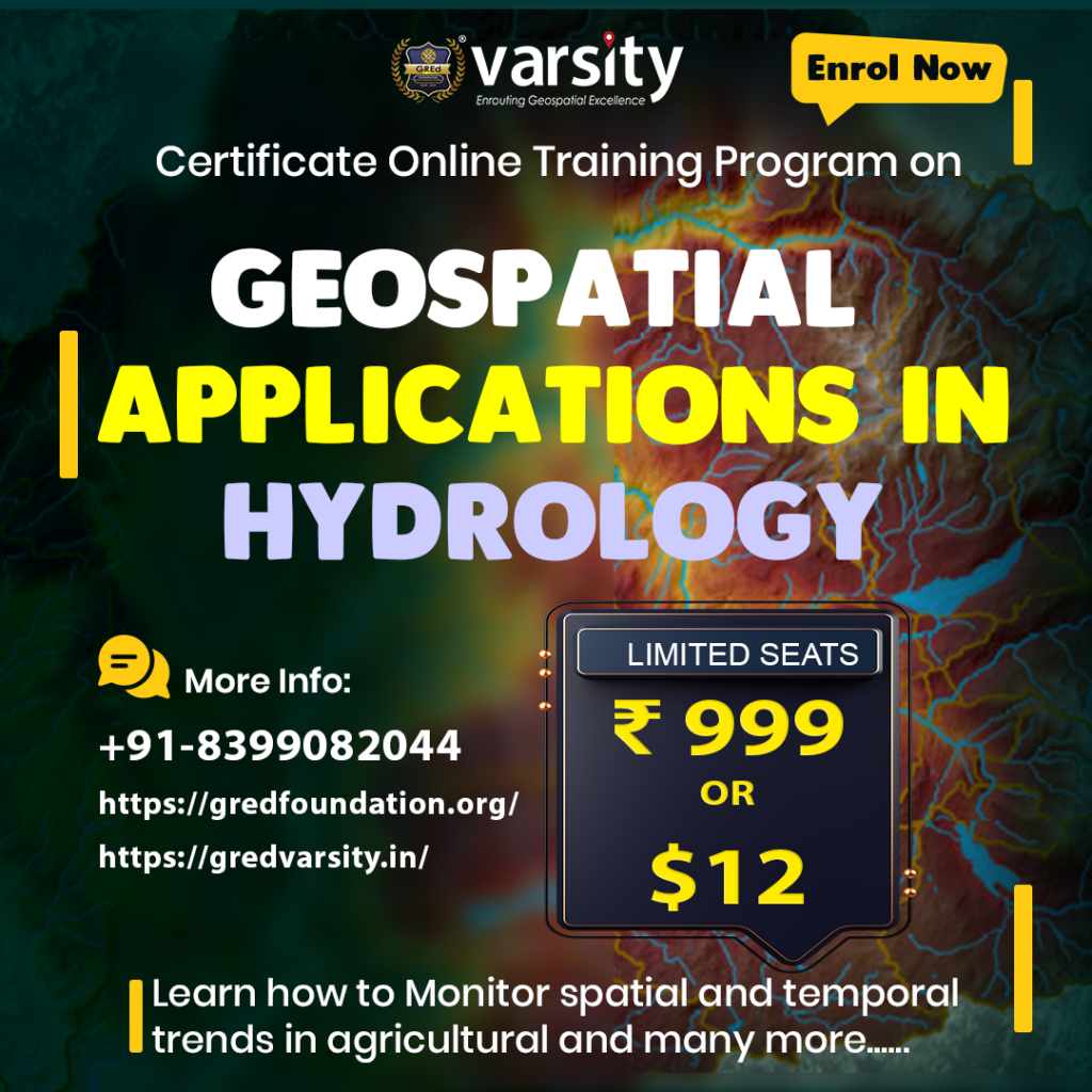
Learn Hydrology and Geospatial Applications
in just 4 weeks for only ₹ 999/-
- This course covers everything you need to know about hydrology, including river systems, watershed management, river ecology, groundwater hydrology, precision agriculture.
- Calculate the time of concentration of a river, create a longitudinal river profile, and calculate the topographic wetness index.
- You will also learn how to download terrain data, create RAS terrain, modify terrain, conduct floodway encroachment analysis, optimize flow hydrographs, and create 1D sediment models.
- In addition, you will learn how to collect field data for precision agriculture and how to monitor spatial and temporal trends in agricultural water productivity with WaPOR open data.
- This course is perfect for anyone who wants to learn about hydrology and geospatial applications, including students, professionals, and hobbyists.
Course Code : OMDMG

One Month Certificate Course (Ongoing)
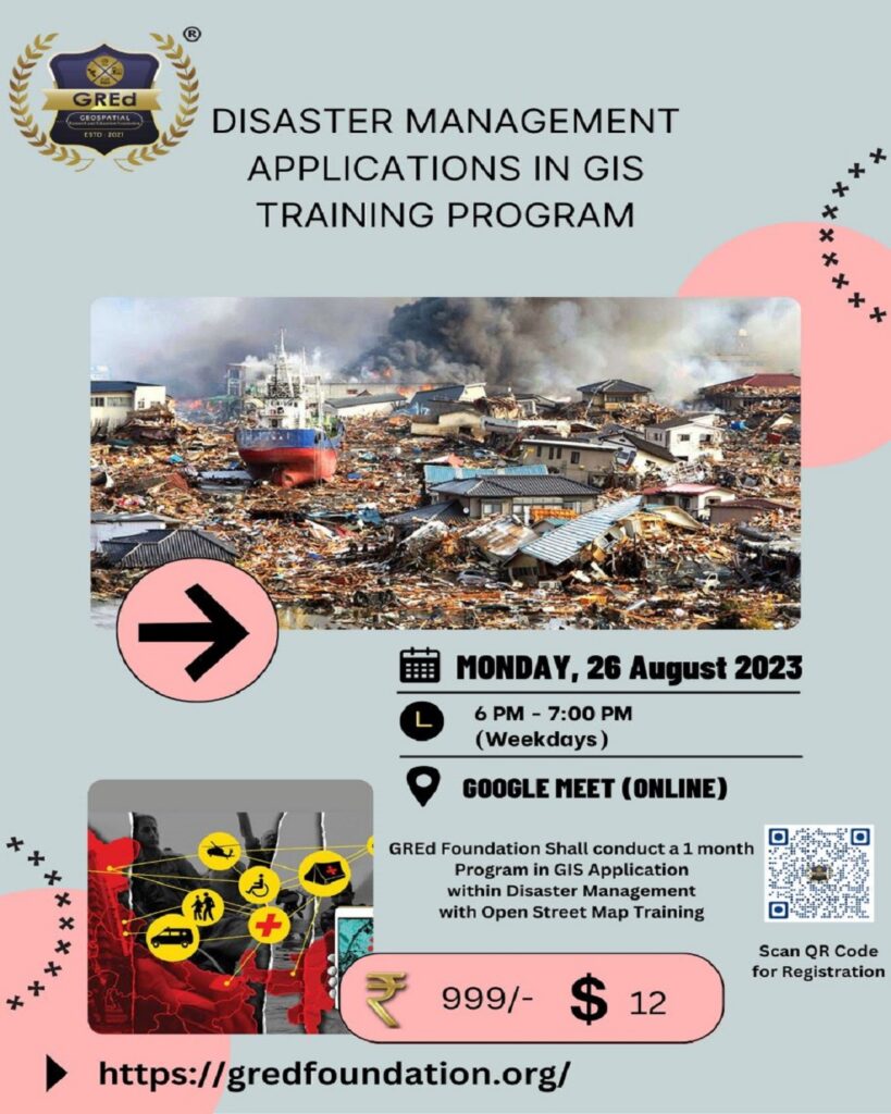
Learn Application of GIS in Disaster Managments
in just 4 weeks for only ₹ 999/-
- This course is perfect for anyone who wants to learn about disaster management and geospatial applications, including students, professionals, and hobbyists.

