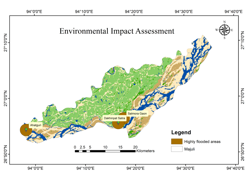
Flood Hazard Mapping using Remote Sensing and GIS Techniques-A (Case Study of Majuli River Island, Assam India)
Flood Hazard Mapping using Remote Sensing and GIS Techniques (A Case Study of Majuli River...
Read More >>

Flood Hazard Mapping using Remote Sensing and GIS Techniques (A Case Study of Majuli River...
Read More >>

Welcome to WordPress. This is your first post. Edit or delete it, then start writing!
Read More >>


Copyright © 2023 Geospatial Research & Education Foundation